Close

Shop All:Nystrom
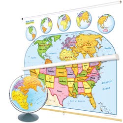
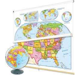
Nystrom United States and World Map Readiness Classroom Pack with Relief Globe

Item #:
1398261
$938.89 CAD
$845.00 CAD
Quickship Eligible.
Ships Directly from Manufacturer Typically Within 2-4 Weeks - Lead Times Vary
About This Item
Description
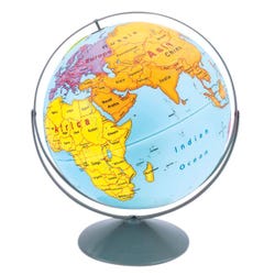
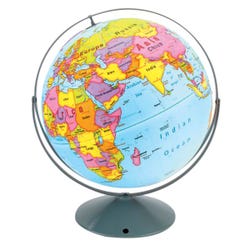
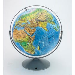
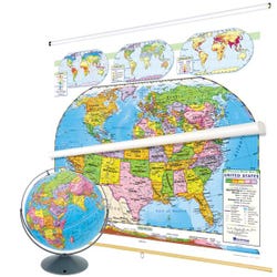
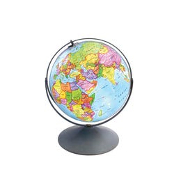
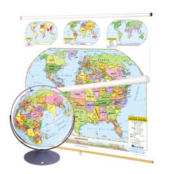
Maps teach young minds how to use maps and globes, combine this United States map, world map, and globe (all markable) that all focus on political regions by using contrasting colors to make states and countries easy to see. The legends on both maps explicitly explain how map symbols and conventions work, and both show shaded relief, capital and major cities (with type size denoting population), and include longitude and latitude. The U.S. map shows major highways, and has insets including Alaska, Hawaii, and a locator map; insets on the world map include continents and oceans, north and south polar views, and an "orange peel" illustration showing how a two-dimensional map can represent a three-dimensional globe. Both maps measure 65 W x 54 H inches and come mounted on one heavy-duty metal spring-roller with a backboard designed for hanging from a map rack or a one-inch map rail (not included). Matching 16 inch globe is raised relief in a Gyro-Disk mount.
Specifications
Allergens:
Contains No Allergens
Maximum Grade Level:
Grade 3
UPC:
048359117079
 No Choking Hazard